Ca Mau Province (Ca Mau) Dat Mui City (Dat Mui)
Dat Mui City (Dat Mui) http://www.hotsia.com > Ca Mau Province (Ca Mau) > Dat Mui City (Dat Mui) Dat Mui City, Ca Mau Province, Vietnam (Dat Mui Ca Mau Vietnam) Dat Mui City (Dat Mui) is a town under Ngoc Hien District, the southernmost district of Ca Mau Province. The entire district has less than 100,000 people. I traveled to this town because it is the southernmost point of Vietnam, the tip of Ca Mau Peninsula, or the southernmost tip of the Vietnamese peninsula.
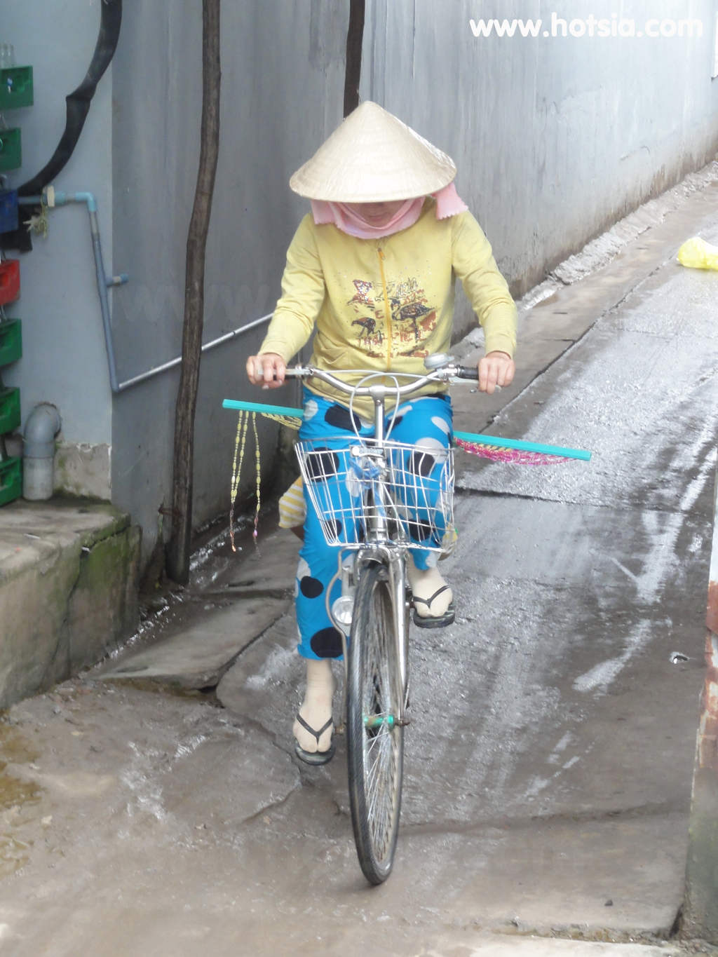
If measured on the map, it lies on the same latitude as Nakhon Si Thammarat Province, about 500 kilometers away. Dat Mui is a very small town with no tourists visiting. There are two hotels for Vietnamese locals, costing just over 200 baht per night with air conditioning. I traveled by boat arriving near evening, then hired a motorbike to the southernmost point of the peninsula, about 2 kilometers from the boat dock. The motorbike fare was 60 baht round trip, visiting two or three spots.
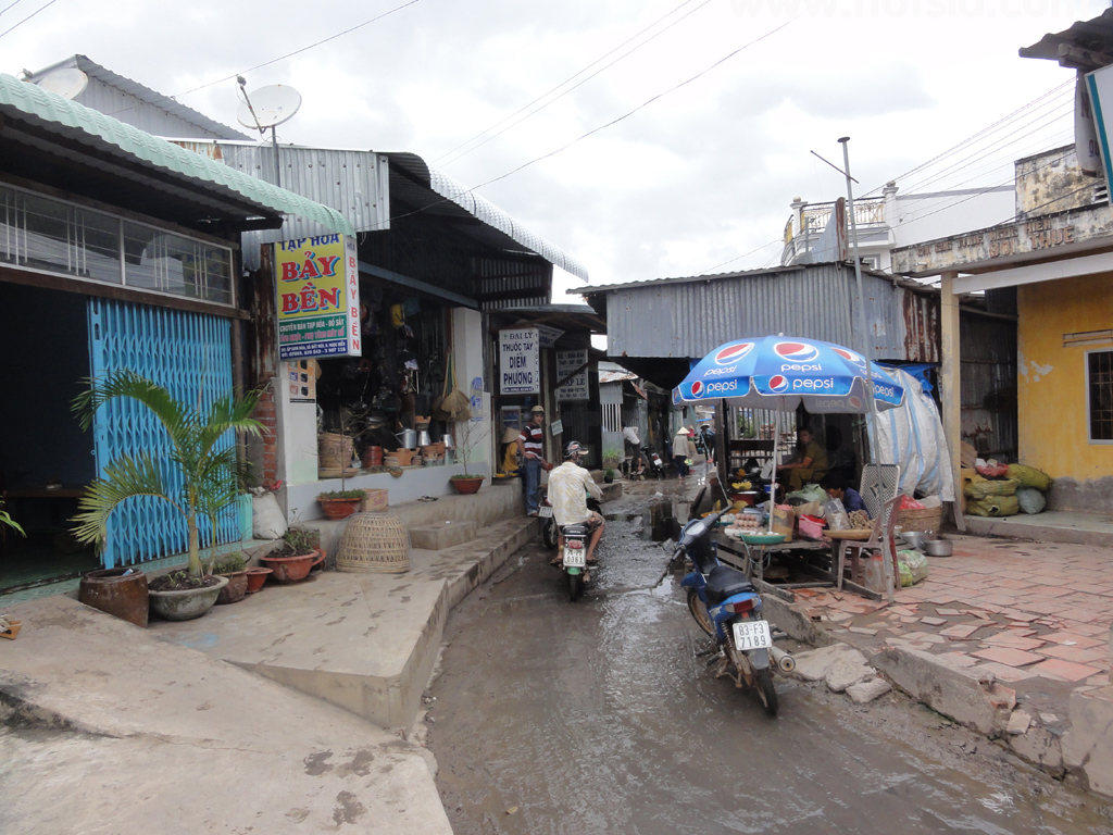
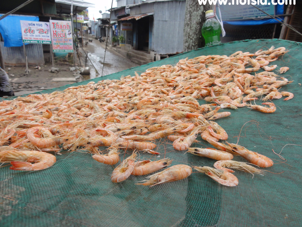
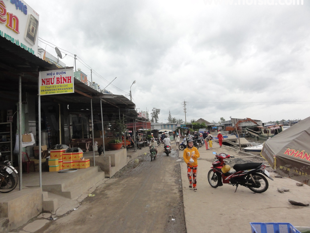
At the tip of the peninsula, it seems they are developing it into a major tourist destination. Dat Mui is a small town with a coffee shop at the pier where you can sit and watch the sea boats returning from the ocean. The view is nice with unusual boats passing by. At night, the town is very quiet, and you just go to bed. Each household cooks their own food; no one buys ready-made meals. There is one noodle shop here. There are many flies, so be careful when eating. At the pier where I went, no one spoke English at all. mr.hotsia January 2012
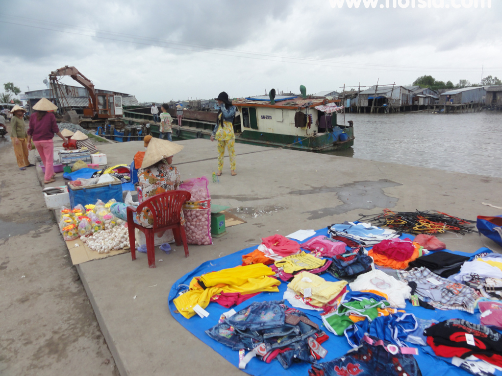
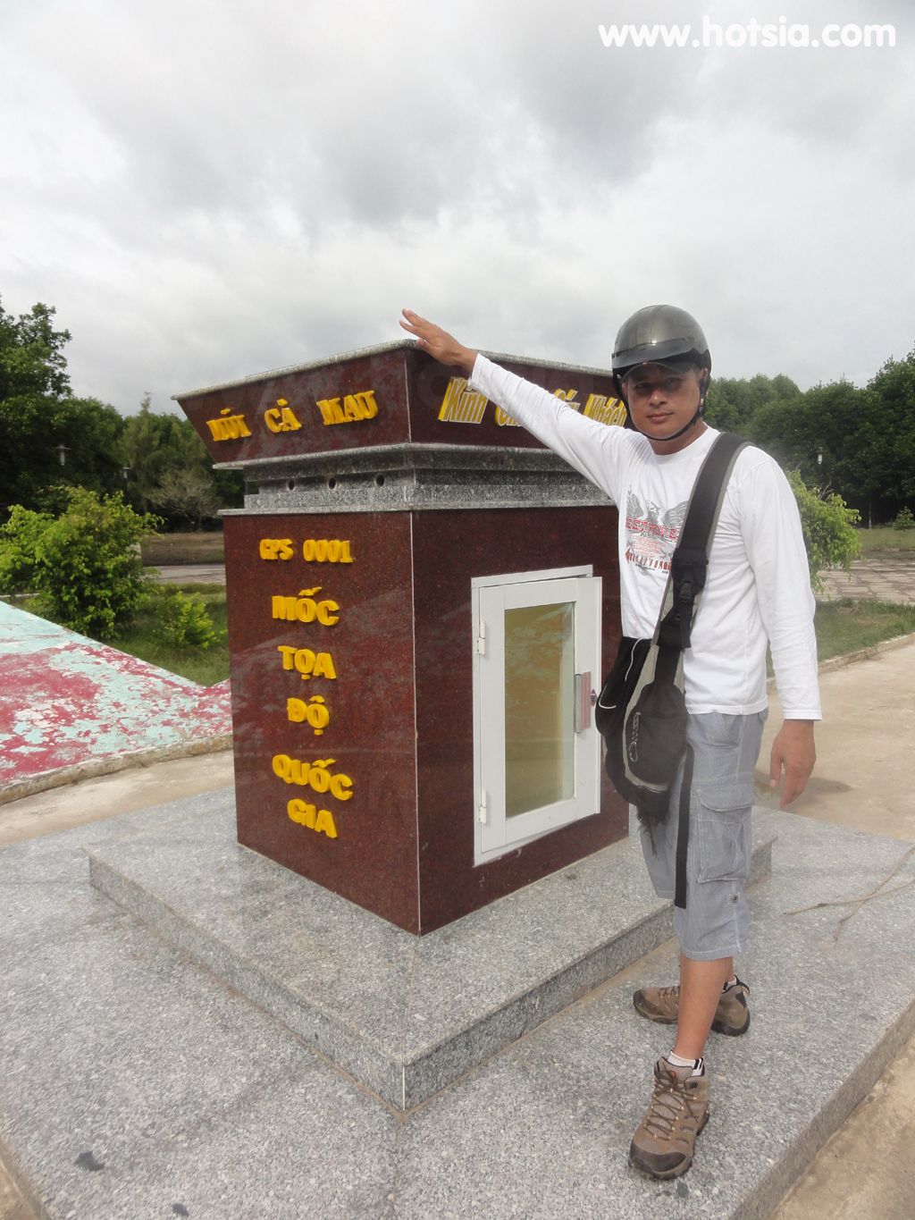
Video of the southernmost point of the Vietnamese peninsula (Ca Mau Peninsula) Dat Mui City, Ca Mau Province, Vietnam 8 36 22.805 N, 104 43 18.54 E GPS coordinates (POI) 180 degrees, tip of Ca Mau Peninsula, Vietnam Map location of Dat Mui City 8 36 24.941 N, 104 43 14.676 E Resting somewhere 8 36 24.725 N, 104 43 14.64 E 8 36 20.885 N, 104 43 10.343 E 500 kilometers is Nakhon Si Thammarat 8 35 59.316 N, 104 45 22.835 E Dat Mui Market (Dat Mui) 8 35 58.914 N, 104 45 21.816 E
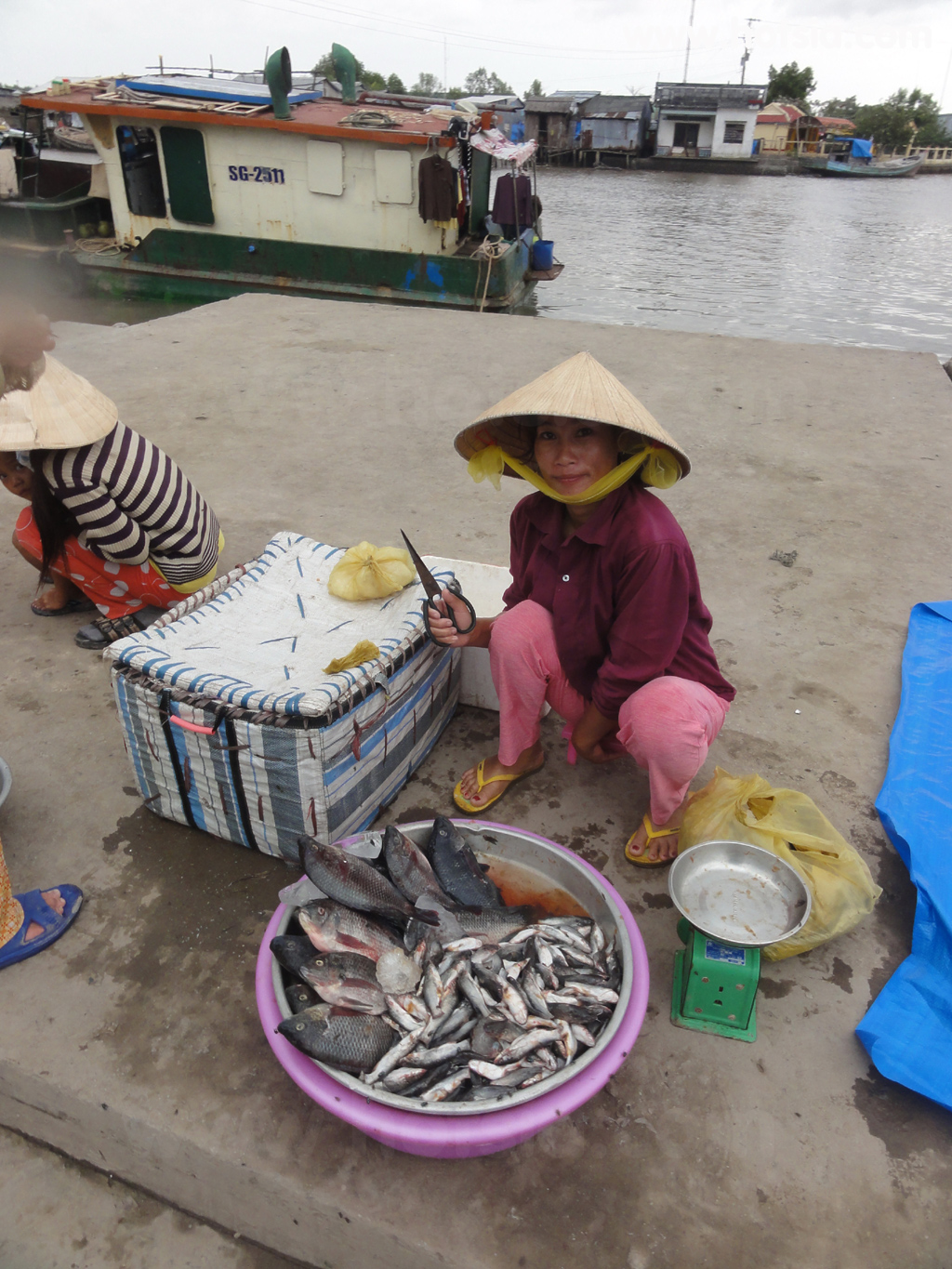
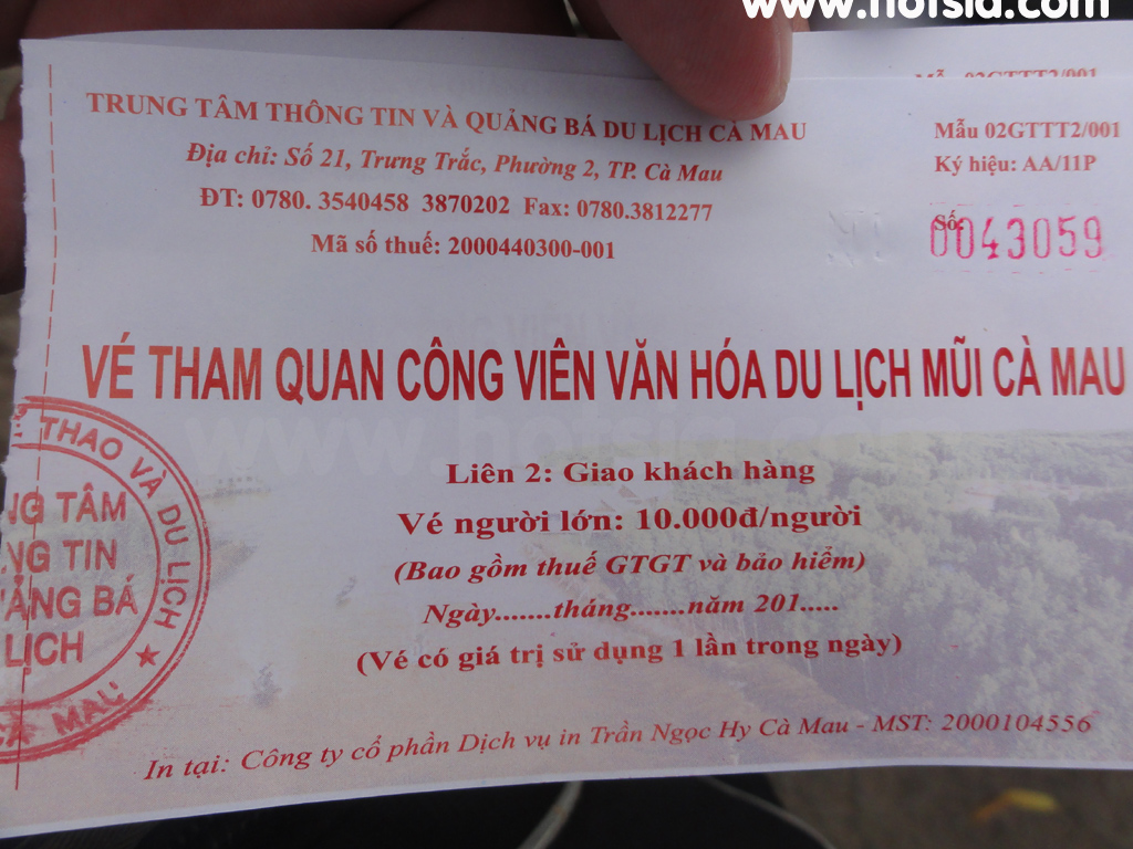
This Vietnamese man rows a boat ferrying passengers across the river 8 35 58.986 N, 104 45 22.457 E 8 35 59.01 N, 104 45 21.563 E Riverside local houses 8 35 59.064 N, 104 45 22.829 E 8 35 59.04 N, 104 45 23.063 E 8 35 59.13 N, 104 45 23.633 E 8 35 58.919 N, 104 45 25.571 E 8 36 16.157 N, 104 43 30.396 E Entrance fee to Ca Mau Peninsula, Dat Mui City 8 36 24.696 N, 104 43 14.874 E 8 36 24.917 N, 104 43 14.61 E 8 36 20.862 N, 104 43 10.392 E
Sailboat at Ca Mau Peninsula, the symbol boat of Ca Mau Peninsula 8 36 22.865 N, 104 43 15.432 E 500 kilometers to Nakhon Si Thammarat Under construction tourist site 8 36 16.655 N, 104 43 34.608 E Riding pillion on a motorbike back 8 36 7.403 N, 104 45 12.629 E 8 35 58.601 N, 104 45 30.965 E 8 35 58.511 N, 104 45 30.743 E 8 35 58.95 N, 104 45 22.409 E The type of boat I came on from Ca Mau Information about Ca Mau Province (Ca Mau) Ca Mau City (Ca Mau) Boat from Ca Mau to Dat Mui
Boat from Rach Gia to Ca Mau Two passenger piers