Bueng Kan, Wat Ahong, The Navel of the Mekong River
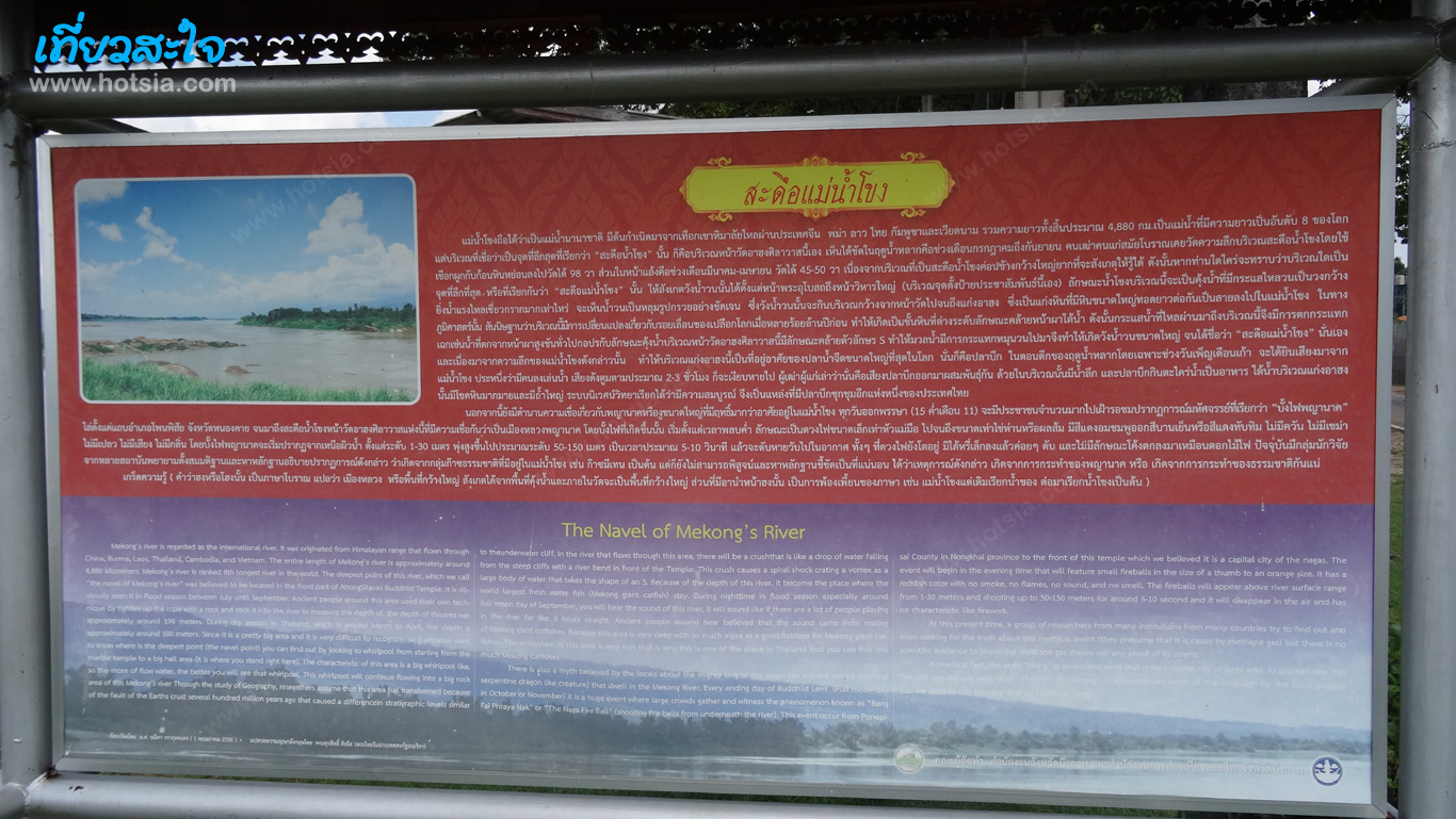
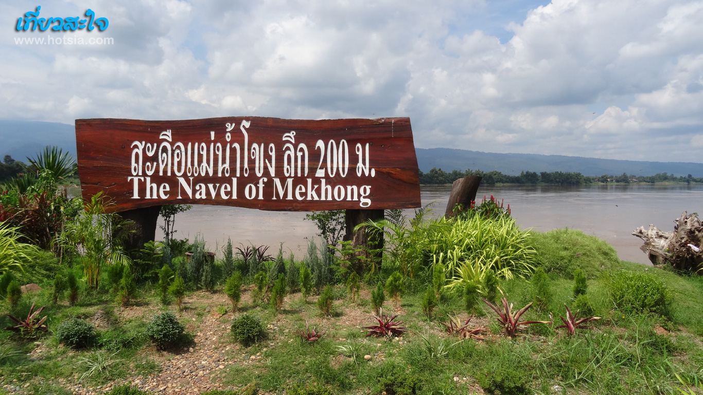
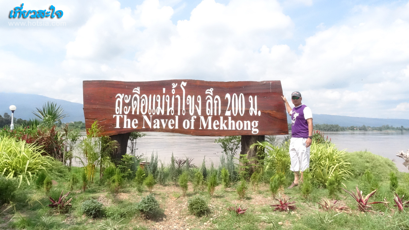
Wat Ahong, The Navel of the Mekong River http://www.hotsia.com > Bueng Kan > Wat Ahong, The Navel of the Mekong River Travel to Bueng Kan Province Thai-Lao Bueng Kan Market The colors of Bueng Kan Province Restaurants in Bueng Kan Bueng Kan - Pakxan Border Checkpoint Pakxan looking towards Bueng Kan side Recommended hotels by Mr.Hotsia that are good in Bueng Kan Wat Ahong is located 20 kilometers from Bueng Kan town on the road from Nong Khai. This place is known as the navel of the Mekong River, with a sign indicating that this is the deepest point during the flood season, measuring 200 meters deep.
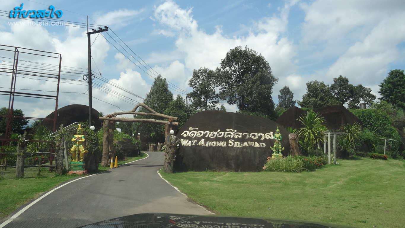
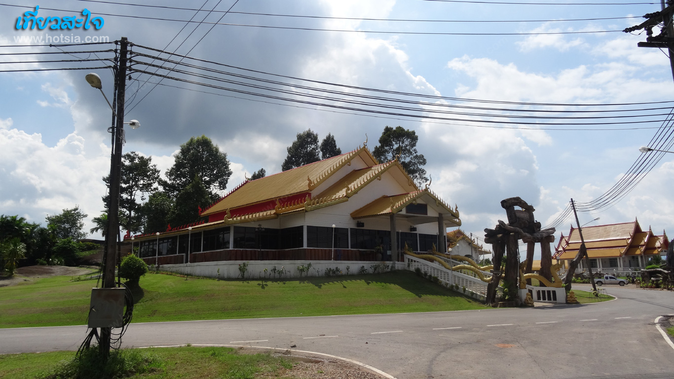
The width of the Mekong River here is about 300-400 meters. The Thai side has no mountains, while the Lao side, 5 kilometers away, has high mountains. Standing at the riverbank at the navel of the Mekong River is quite intimidating as the water constantly swirls. If you ask me to sit in a small fishing boat, I definitely wouldn’t go. I think it could be dangerous; who knows what’s under the water. Wat Ahong, full name Wat Ahong Silawas, is located in Khaisai Subdistrict, Bueng Kan Province. It is another place tourists should visit. Enjoy your trip to Bueng Kan Province with Mr.Hotsia.
The Navel of the Mekong River, 200 meters deep Wat Ahong Silawas Wat Ahong Silawas, The Navel of the Mekong River, 200 m deep