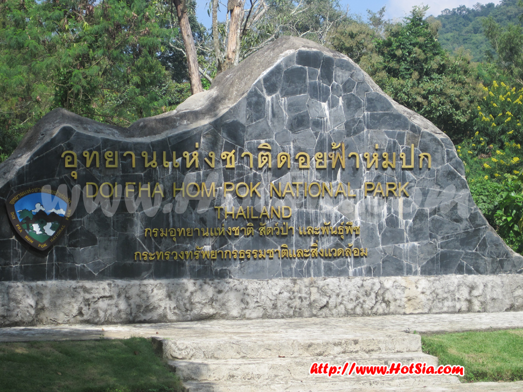
Chiang Mai Doi Fa Hom Pok National Park Mae Fang Hot Springs Doi Fa Hom Pok
Doi Fa Hom Pok National Park Mae Fang Hot Springs Doi Fa Hom Pok http://www.hotsia.com > Chiang Mai > Doi Fa Hom Pok National Park Mae Fang Hot Springs Doi Fa Hom Pok Mae Fang Hot Springs, formerly known as Fang Hot Springs, is located within Doi Fa Hom Pok National Park (renamed from Doi Fa Hom Pok National Park). Here you will find the famous Doi Fa Hom Pok. Today I visited Fang District and will continue to Doi Ang Khang, so I did not have the chance to visit Doi Fa Hom Pok.
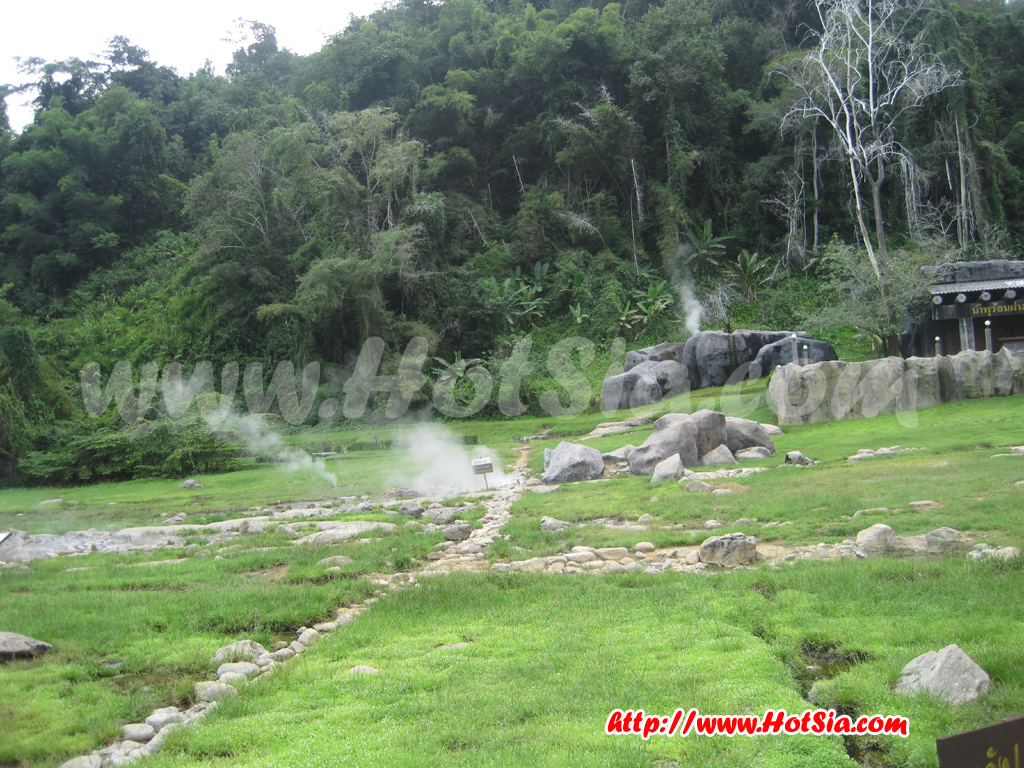
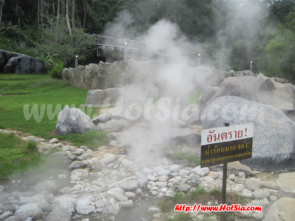
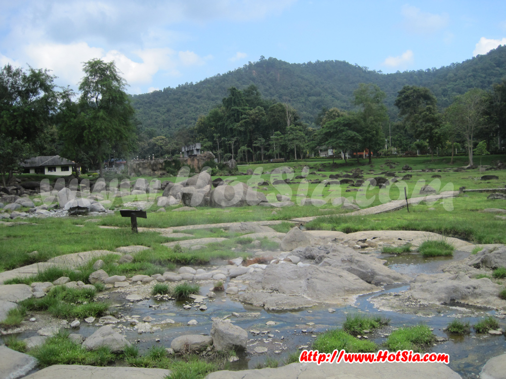
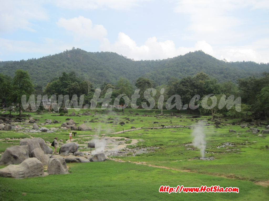
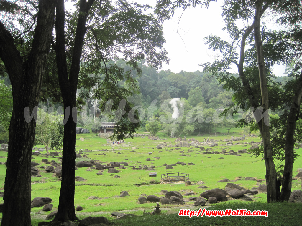
I only managed to tour the lower Fang Hot Springs and a little of Huai Mae Jai. I have visited hot springs at San Kamphaeng, Thep Nom, and Jae Son before, so Fang Hot Springs seemed quite mild in comparison. The water looked dry and not very hot. Boiling eggs, which used to take a short time, now takes about half an hour. This might be due to global warming or other environmental changes, causing the hot spring water to nearly dry up. The park has created an artificial hot spring that shoots water several meters into the air.
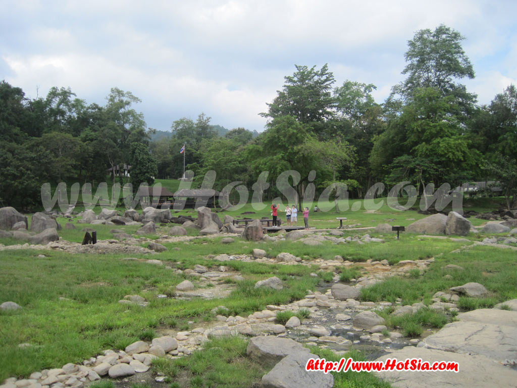
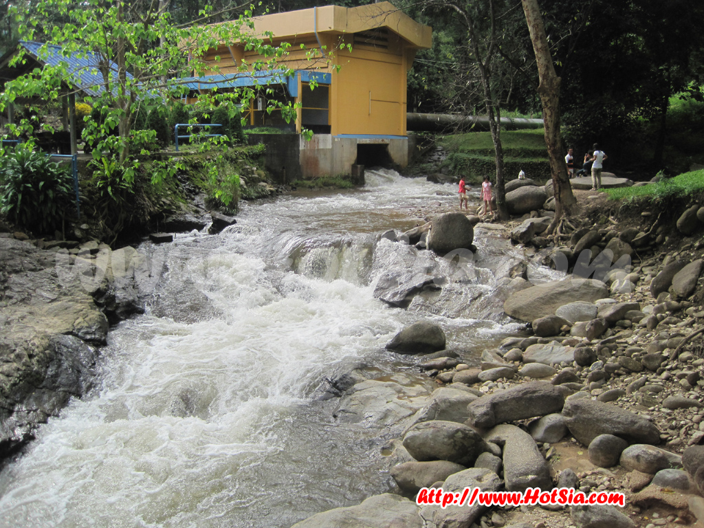
This semi-artificial spring shoots water from underground every 30 minutes, but it cannot replace the natural hot spring. It is just for visual appeal. From the hot springs, a short walk leads to Huai Mae Jai, which flows through Fang town. When I strolled around Fang, I came across this stream. Local youth love to swim here because the water is strong, cool, and shallow, perfect for jumping and playing. General information about Doi Fa Hom Pok National Park is from the national park website.
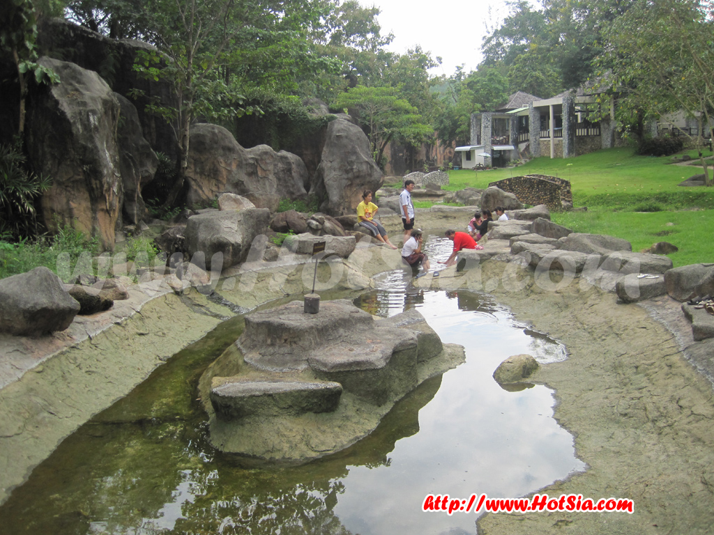
Doi Fa Hom Pok National Park is now open for climbing Doi Fa Hom Pok. Visitors must start the climb before 3:30 PM. A 4WD vehicle is required; sedans and vans are not allowed due to the gravel road. You can arrange a vehicle service for 1,800 THB per 8 people (overnight) at the tourist service center. At the Doi Fa Hom Pok National Park office (Mae Fang Hot Springs), you can enjoy mineral baths and traditional Thai massages daily from 7:30 AM to 7:00 PM.
The terrain of Doi Fa Hom Pok National Park is mostly high, complex mountains stretching north to south. It is part of the Daen Lao mountain range, with elevations ranging from 400 to 2,285 meters above sea level. Important mountains include Doi Pu Muen, Doi Laem, and Doi Fa Hom Pok, the second highest peak in Thailand. The park is the source of several important streams such as Huai Mae Jai, Huai Mae Sao, Mae Khuem Luang River, Mae Hang River, and Mae Laeng River.
To the north and west, the park borders Myanmar. To the south, it borders Chiang Dao National Park in Nong Bua Subdistrict, Chai Prakan District, Chiang Mai Province. To the east, it borders five subdistricts of Fang District: Wiang, Pong Nam Ron, Mon Pin, Mae Sun, and Mae Gon; four subdistricts of Mae Ai District: Malika, Mae Ai, Mae Sao, and Tha Ton; and two subdistricts of Chai Prakan District: Nong Bua.
The general climate has an average annual temperature of about 25.4°C. The highest temperature occurs in April, around 39.1°C. The rainy season is from May to September, with an average annual rainfall of approximately 1,183.5 mm. The weather is cool from November to February, with average temperatures between 14-19°C. The mountain peaks can drop to about 2°C in winter. During summer, the average temperature is around 14°C.
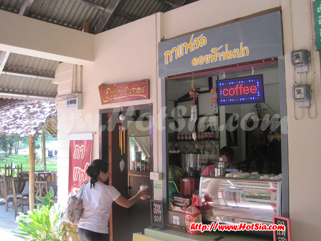
Doi Fa Hom Pok National Park The water shooting up is an artificial spring mimicking nature. Huai Mae Jai at Doi Fa Hom Pok National Park is a popular swimming spot for youth. Doi Fa Hom Pok National Park Fresh coffee shop at the park The dry pool area of Fang Hot Springs The zone in front of the mineral bath rooms The bridge crossing to swim in Huai Mae Jai Trip by Mr.Hotsia to Fang District Doi Ang Khang coffee shop Doi Ang Khang at night Giant roti at Doi Ang Khang Fang oil drilling rig Tipros noodle shop in Fang town
Fang Hot Springs Doi Fa Hom Pok National Park