Chiang Rai Phu Chi Fa
http://www.hotsia.com > เชียงราย > ภูชี้ฟ้า ภูชี้ฟ้าที่ท่องเที่ยวสุดฮิตที่คนไทยทุกคนครั้งหนึ่งจะต้องไปเที่ยวให้ได้ การเดินทางเที่ยวภูชีฟ้าสมัยนี้ไม่จำเป็นต้องนอนที่ภูชี้ฟ้าก็ได้ มีทางเลือกให้หลายทางจะได้ไม่ต้องไปแย่งกันพักที่นั่น เพราะว่าช่วงเทศกาลคนมาเที่ยวกันเยอะมาก ผมเองก็เลือกที่จะพักที่จังหวัดพะเยา แล้วตื่นแต่เช้าเดินทางขึ้นไปภูชี้ฟ้า ผ่านทางเชียงคำ บ้านฮวก อีกแค่ 36 กิโลเมตรก็ถึงภูชี้ฟ้าแล้ว
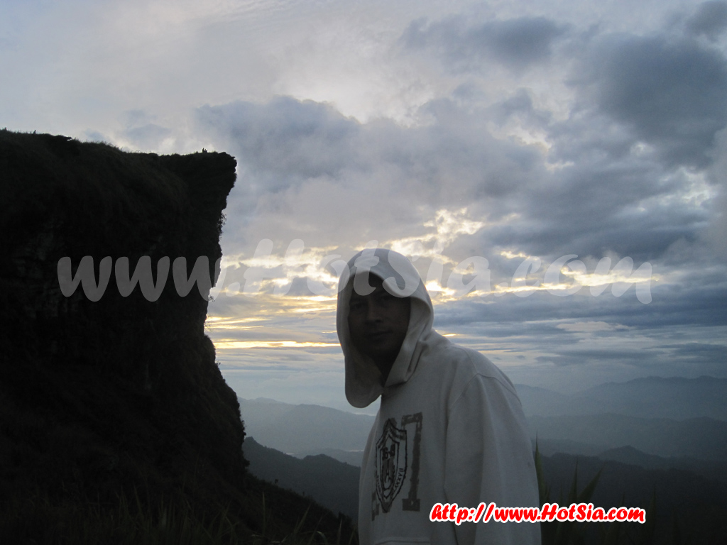
I recommend staying in Chiang Kham if you plan to visit Phu Chi Fa. However, at Ban Huak accommodation, there are only 2 houses. Staying in Chiang Kham is better, then travel to Phu Chi Fa in the morning. After visiting Phu Chi Fa, go to Doi Pha Tang, have coffee at Ban Coffee, eat Yunnan food at Ban Din restaurant, then head to Wiang Kaen. The weather on Phu Chi Fa is cold and you need to hike at night to see the sunrise at the summit. Bring a flashlight with you. And when staying at the summit of Phu Chi Fa, don’t take it lightly.
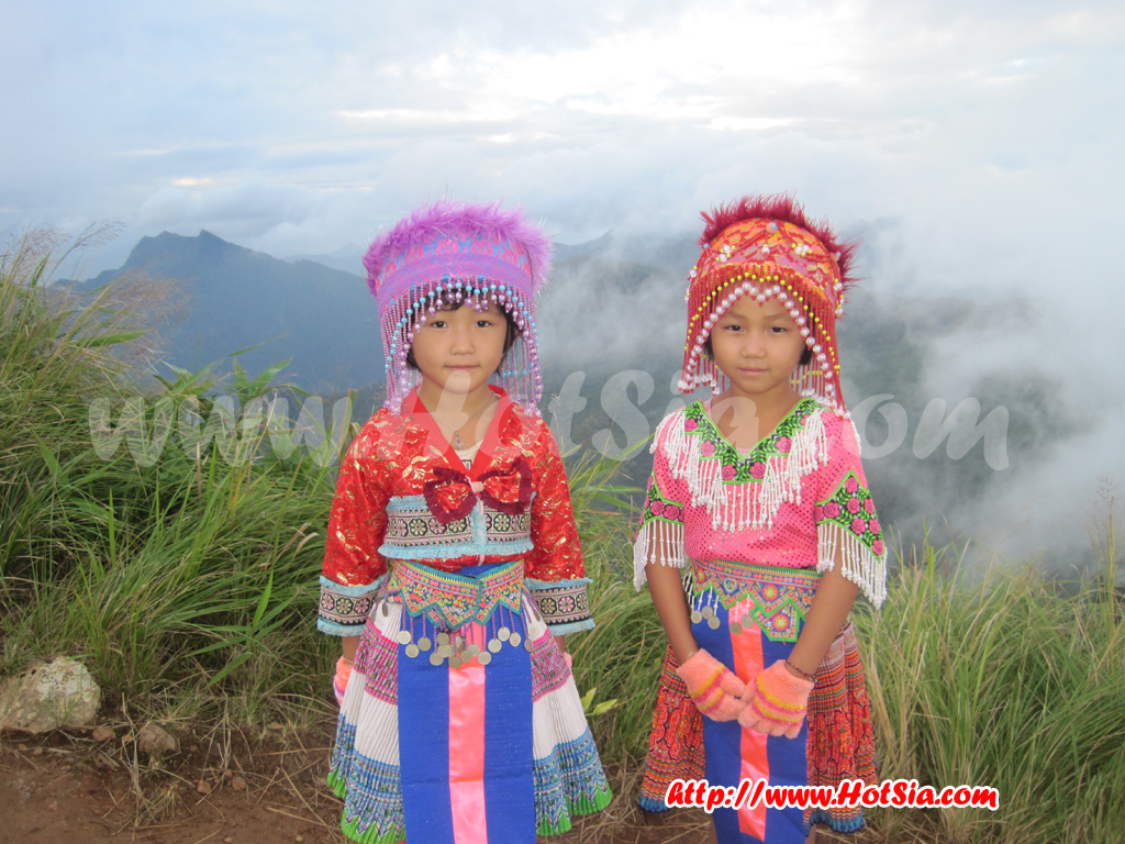
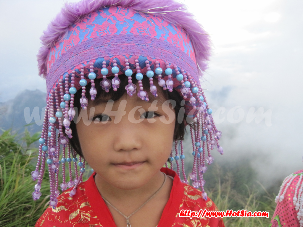
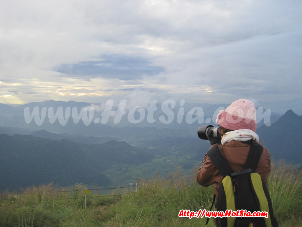
Someone has died from falling there before. From Phu Chi Fa, you can see the Mekong River flowing through Laos (see the Mekong River flow map below). This means if you take a boat from Huai Sai to Luang Prabang, you will also see Phu Chi Fa. At Phu Chi Fa, Hmong hill tribe children dressed in beautiful costumes are available for photo opportunities. Or you can rent Hmong costumes for photos. There is an instant photo service at the summit, but I saw that most people don’t use it; they usually carry their own digital cameras or use their phones to take pictures. Mr.Hotsia
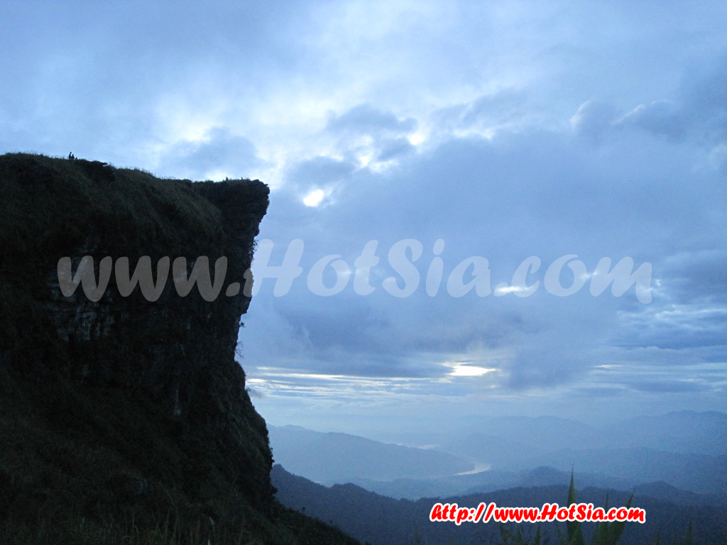
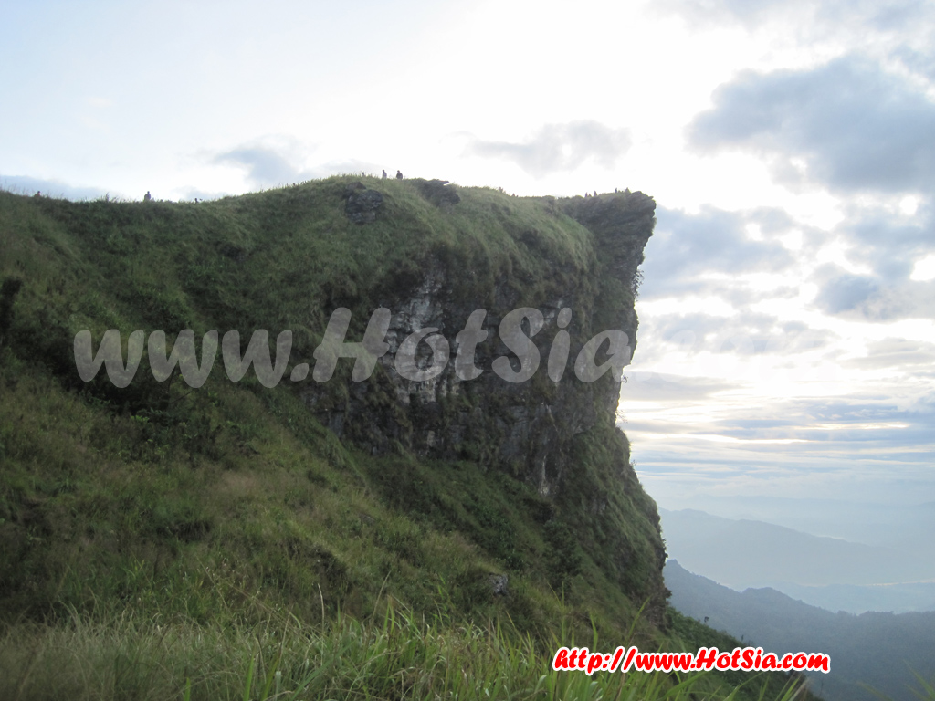
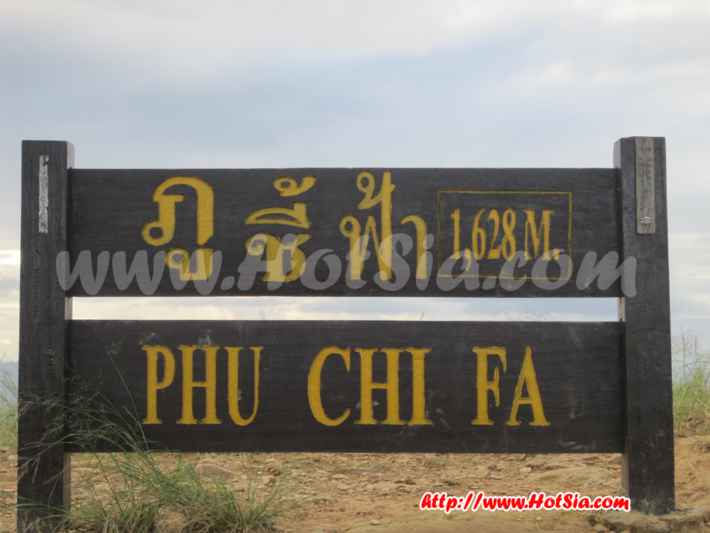
Additional information about Phu Chi Fa from http://www.tourismchiangrai.com: It is a natural tourist attraction characterized by steep cliffs, with an elevation of about 1,628 meters (5,426 feet) above sea level. It is located along the border between Thailand and Ban Chiang Tong, Xayaburi Province, Laos, on the Pha Mon mountain range. Tourists have named Phu Chi Fa after the huge, sharp, pointed rock at the summit that points to the sky.
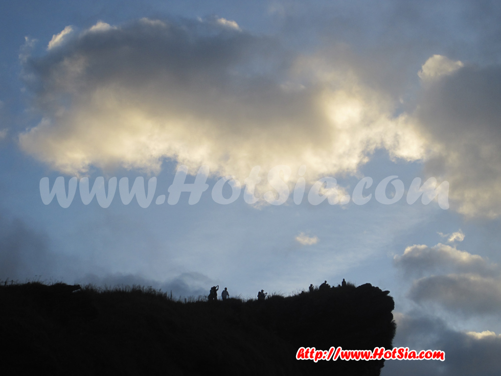
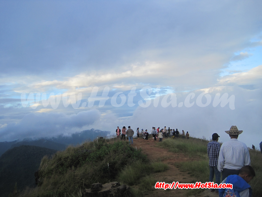
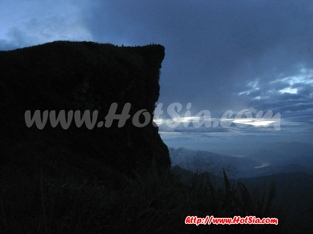
Phu Chi Fa is a viewpoint for watching the sunrise and mist dispersing. The best time to visit is from November to January between 6:30 and 7:30 AM. It is 25 km from Doi Pha Tang. The peak is a sharp mountain rising into the sky, with a cliff extending long towards Laos. The summit is a wide grassland mixed with purple-pink flowers that bloom from July to January. * 50 meters before Phu Chi Fa on the right side is Doi Lang Tao.
* The ridge line of Phu Chi Fa marks the border between Thailand and Laos. * The distance from the parking lot to the Phu Chi Fa summit is 700 meters on foot. * There is frost along the trail. * Wildflowers grow naturally, such as cherry blossoms, grass flowers, wild apple trees, edible fern (not edible), broom-making trees (reed or kong trees), and wild strawberries that appear in the dry season. There are 3 routes to the viewpoint: 1. From Ban Rom Fah Thai, Village No. 24, Tub Tao Subdistrict, Thoeng District.
The paved road passes through Phu Chi Fa National Park for about 2 kilometers to the parking lot, then a 700-meter walk on foot. 2. From Ban Rom Fah Thai, a footpath from the village to the summit is 1,800 meters, suitable for young people and nature travelers. 3. From Ban Rom Fah Thong, Po Subdistrict, Wiang Kaen District, a concrete road leads to the Huai Ngaw watershed management unit 2042, then an 800-meter walk on foot. Travel to Phu Chi Fa from Chiang Rai province can be done by
traveling about 113 kilometers from the province, taking approximately 2 hours and 30 minutes via route 1021 (Chiang Rai - Thoeng District) to Thoeng District, a distance of 64 kilometers on a paved road. From Thoeng District, you can travel to Phu Chi Fa by: 1. The route from Thoeng District to Ban Pang Kha via routes 1021 and 1155, passing Ban Rat Phakdi, then turning right on road 1093 for about 2 kilometers to Ban Rom Fah Thai.
If you turn left, it is about 3 kilometers to Ban Rom Fah Thong, approximately 2. The route from Thoeng District to Ban Pang Kha via routes 1021 and 1155 is about 22 kilometers on a paved road. From Ban Pang Kha, turn right onto route 1093 passing Ban Pang Kha, Ban Rom Pho Thai (Lao U), Ban Rom Fah Thai, about 21 kilometers on a dirt road going uphill with some steep sections, suitable for 4-wheel drive vehicles.
3. The route from Thoeng District to Ban Sop Bong (Chiang Kham District, Phayao Province), Ban Huak via route 1021 and rural road 11022, about 49 kilometers. From Ban Huak to Ban Rom Fah Thai (Phu Chi Fa) via route 1093 is about 36 kilometers on a paved road going uphill and along the mountain edge until reaching Ban Rom Fah Thai (Phu Chi Fa), totaling about 85 kilometers. Let's watch the sunrise at Phu Chi Fa together.
The little guide at Phu Chi Fa is a Hmong child who can take photos or guide you. The map shows the Mekong River flow between Thailand and Laos. The Phu Chi Fa summit viewed from the viewpoint. Standing at the viewpoint, you will see this angle of Phu Chi Fa. After sunrise, Hmong children at Phu Chi Fa. Phu Chi Fa is 1,628 meters above sea level. Tourists taking photos of Phu Chi Fa. Souvenir shops at the foot of Phu Chi Fa. The trip Mr.Hotsia took to Phu Chi Fa - Pha Tang, the Thai-Laos border Doi Pha Tang, Ban Boran Pha Tang restaurant.
Try roti to warm up at Phu Chi Fa. The cabbage road at Phu Chi Fa.