Travel Ratchaburi Suan Phueng Ratchaburi
http://www.hotsia.com > เที่ยวราชบุรี > สวนผึ้งราชบุรี ทริปท่องเที่ยวอื่นๆของผมที่ ราชบุรี สวนผึ้ง บ้านโป่ง ดำเนินสะดวก ตลาดน้ำดำเนินสะดวก อาหารอร่อยในบ้านโป่ง โฮมสเตย์ริมแม่กลอง Mr.Hotsia แนะนำโรงแรมลดราคาในราชบุรี มีคนพูดถึงสวนผึ้งกันเยอะและก็ไปเที่ยวกันหลายคน Mr.Hotsia ก่อนไปสวนผึ้งนึกภาพไม่ออกว่าหน้าตาเป็นอย่างไร เห็นรูปทีไรก็มีแต่แกะกับมนุษย์หินฟริ๊นสโตน
If you travel on your own, you need to explain the overall picture of Suan Phueng so you can visualize what it looks like. Suan Phueng is a district located in the western part of Ratchaburi province. The area is mountainous. If you drive to the Suan Phueng district center and then head towards the border, there are many resorts, beautifully decorated coffee shops, and two or three sheep farms that also serve as accommodations. Most tourists who visit Suan Phueng stay at one of these places, enjoying nature. The style of travel is similar to Wang Nam Khiao.
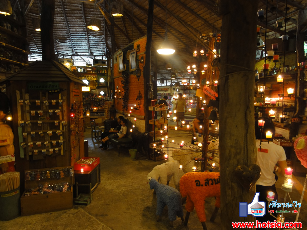
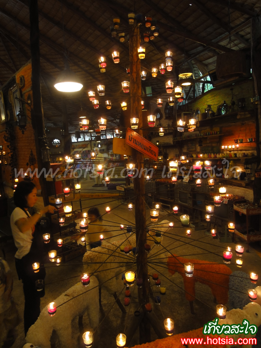
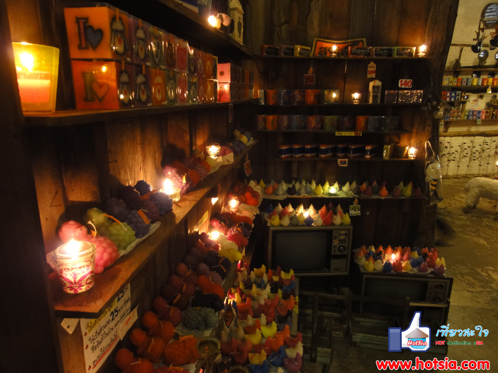
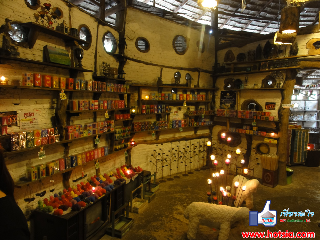
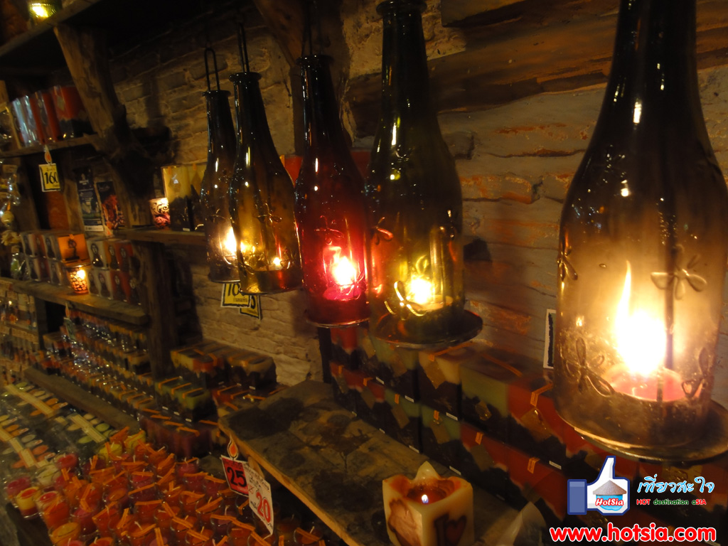
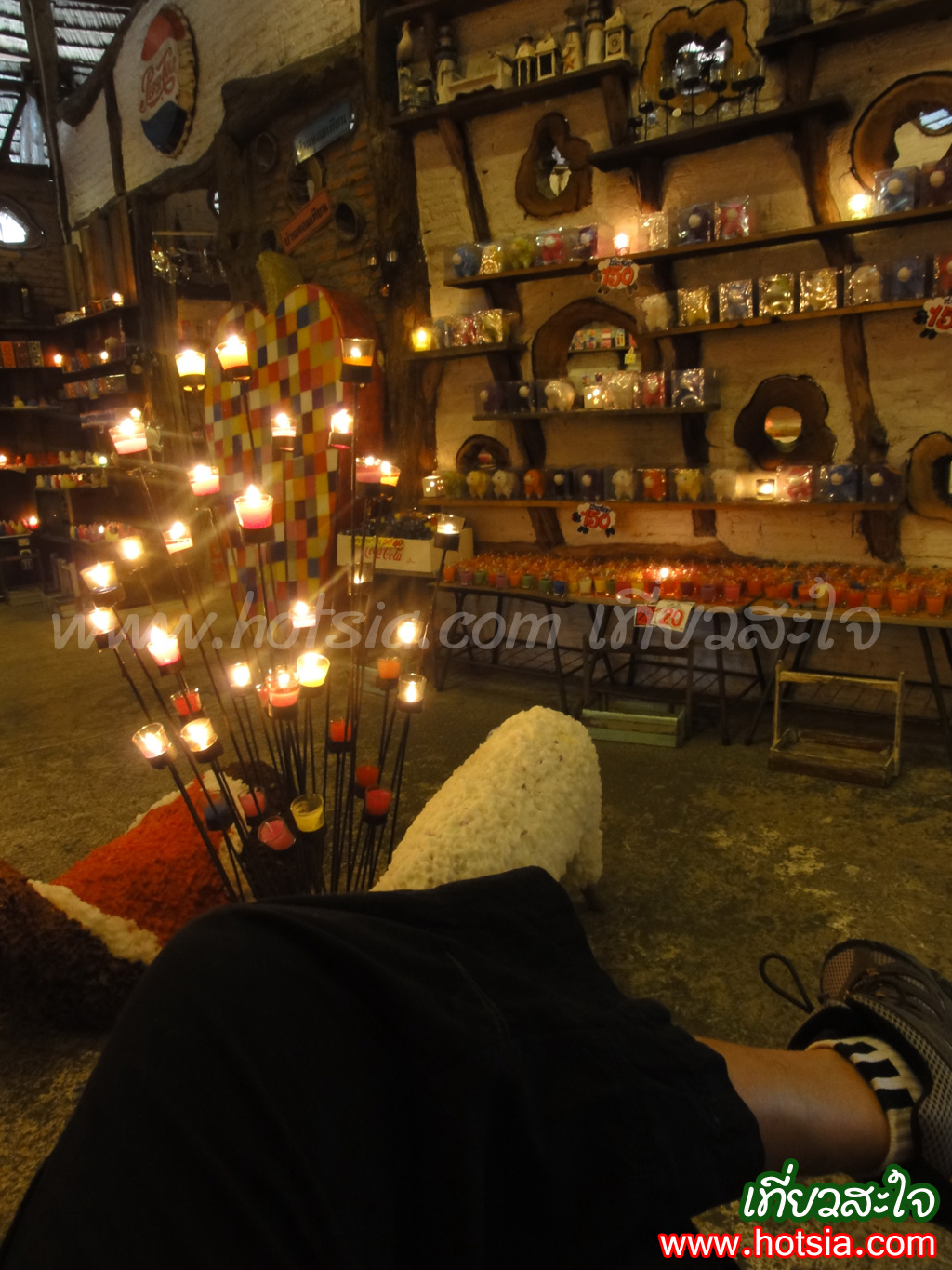
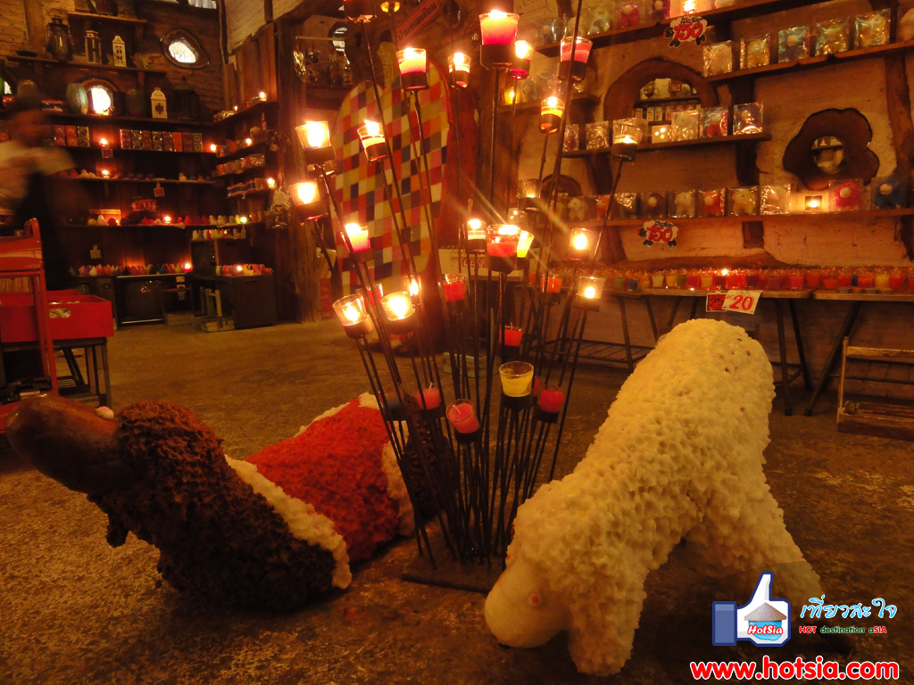
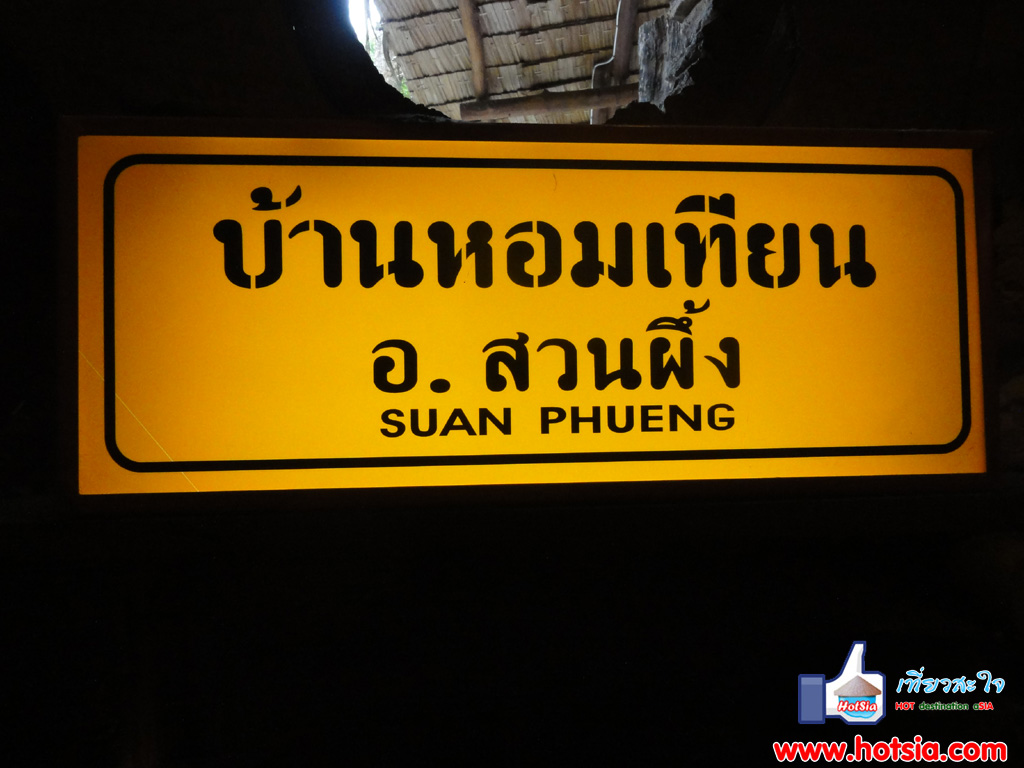
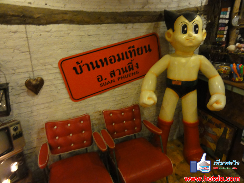
Once you wake up, you can visit Baan Tian Hom (Scented Candle House) or go to New Land where there is a sheep farm. Some may go to Suan Phueng early in the morning to travel around and then return. For planning a day trip, Mr.Hotsia recommends for weekends only, Saturday and Sunday: depart early Saturday morning from Bangkok to visit Damnoen Saduak Floating Market, Tha Ka Floating Market, then stay overnight at Amphawa Floating Market. Wake up around 9 AM and drive to Rom Hub Market in Samut Songkhram city nearby.
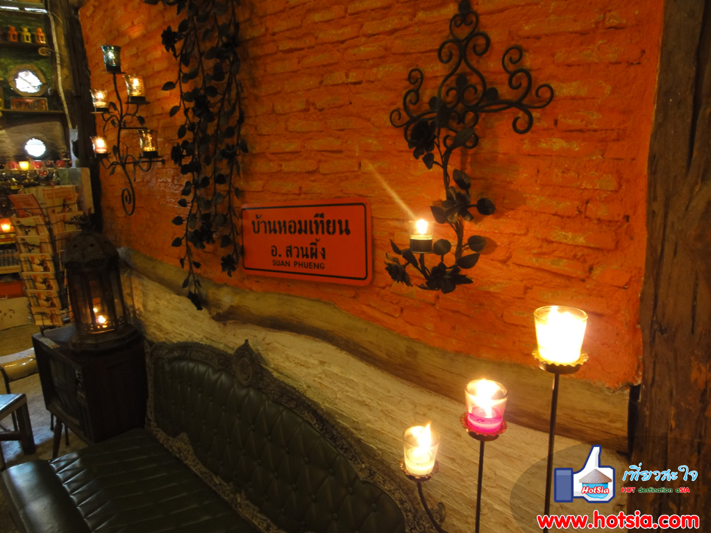
Then return to check out and travel to Suan Phueng, have lunch, and travel back to Bangkok. Honestly, Suan Phueng is a place to relax, breathe fresh air, and not much else. But it is a tourist destination not far from Bangkok, easy to travel to, which is why many people visit. Do not expect too much from Suan Phueng. For those who love nature, finding a resort to stay and breathe ozone on the weekend is very suitable. Take a trip to the beautiful Baan Hom Tian (Scented Candle House) in Suan Phueng.
Clip of visiting the sheep farm at New Land. The driving route from Ratchaburi to Suan Phueng shows the roads and the scenery along the way in Suan Phueng. GPS coordinates (POI): 13 32 42.827 N, 99 18 51.491 E; 13 33 0.119 N, 99 16 41.267 E; 13 32 34.98 N, 99 18 13.031 E; 13 32 42.611 N, 99 18 50.724 E; 13 32 42.918 N, 99 18 50.987 E; 13 32 43.265 N, 99 18 51.503 E; 13 35 8.051 N, 99 14 56.639 E; 13 32 59.472 N, 99 16 40.668 E; 13 32 35.057 N, 99 18 15.102 E.
13 32 34.956 N, 99 18 12.989 E 13 32 34.769 N, 99 18 13.235 E 13 32 34.907 N, 99 18 15.905 E 13 32 34.956 N, 99 18 15.941 E 13 32 42.57 N, 99 18 50.417 E 13 32 42.936 N, 99 18 50.364 E 13 32 42.876 N, 99 18 50.849 E 13 32 42.858 N, 99 18 50.819 E 13 32 43.074 N, 99 18 51.521 E 13 32 42.653 N, 99 18 52.589 E 13 32 42.678 N, 99 18 51.617 E 13 32 43.007 N, 99 18 51.701 E 13 32 42.419 N, 99 18 51.185 E
13 32 42.293 N, 99 18 51.407 E 13 32 41.639 N, 99 18 51.023 E 13 34 8.958 N, 99 15 23.573 E 13 32 59.058 N, 99 16 40.506 E 13 32 59.315 N, 99 16 40.548 E 13 32 59.987 N, 99 16 41.298 E 13 32 35.363 N, 99 18 17.351 E 13 32 34.956 N, 99 18 16.709 E 13 32 34.637 N, 99 18 16.673 E 13 32 35.015 N, 99 18 15.858 E 13 32 34.944 N, 99 18 13.284 E 13 32 34.745 N, 99 18 13.343 E 13 32 35.034 N, 99 18 13.133 E
13 32 35.088 N, 99 18 13.247 E 13 32 34.961 N, 99 18 13.133 E 13 32 34.805 N, 99 18 13.007 E 13 32 35.015 N, 99 18 13.445 E 13 32 34.697 N, 99 18 13.523 E 13 32 34.841 N, 99 18 14.081 E